
Every rider who books the Manang motorcycle tour has done their research. They have read the route guides, checked the permit requirements, watched the YouTube ride videos, and packed their bags with reasonable confidence.
Then they actually ride it and discover a handful of things that nobody thought to mention beforehand.
This is not a standard route guide. The road distances, permit costs, and seasonal recommendations exist everywhere. What does not exist — at least not in one place — is the honest, unfiltered list of things that genuinely surprise riders on the Manang route. The things veterans mention casually around the dinner table at a Chame guesthouse. The things that make the difference between a rider who thrives on this route and one who merely survives it.
Here are ten of them.
1. The Lower Gorge Will Humble You Before You Even Get to the Hard Part
Most riders expect the difficulty to build gradually and peak somewhere near Manang. The reality is more unsettling — the lower Marsyangdi gorge between Besisahar and Tal is one of the most technically demanding sections of the entire route, and it hits you on day one.
The canyon is narrow, the road is carved into steep walls above the river, and the surface switches between loose gravel, broken rock, and wet mud (especially after rain) without warning. Add jeep traffic squeezing past on sections where two vehicles should not logically fit, and you have an opening act that catches unprepared riders badly off guard.
What nobody mentions: You will likely be at your least adapted, least acclimatised, and most gear-heavy on the exact section of road that demands the most immediate technical attention. Riders who arrive expecting a gentle warm-up before the hard riding starts often find the lower gorge is the reset button on any overconfidence they carried from the highway.
Respect it from kilometre one. The rest of the route gets more rewarding — but it does not necessarily get easier.
2. River Crossings Are Real and They Change Without Notice
The Manang route involves actual river crossings — not just wet road sections, but riding through moving water. Most route guides acknowledge this briefly and move on. What they do not explain is that the depth, width, and flow of these crossings can change significantly within a single day depending on snowmelt, rainfall upstream, and the time you arrive.
A crossing that a group of riders handled confidently at 8 AM can be visibly deeper and faster by 2 PM on the same day. Snowmelt in spring is driven by temperature — as the day heats up, melt volume increases and pushes more water downstream by afternoon.
What nobody mentions: Always ask locals or other riders coming from the opposite direction about crossing conditions before you attempt them — not just on the day you are riding, but specifically at the time you plan to cross. The information from two hours ago is not necessarily the information you need right now.
3. Your Phone GPS Is Not Reliable in the Gorge
Modern GPS applications have created a generation of riders who navigate by screen rather than by instinct and observation. The lower Marsyangdi gorge exposes this dependency in the most inconvenient way possible.
Canyon walls block satellite signals on several sections. Data connectivity disappears well before Besisahar. Offline maps are helpful but the narrow, frequently-changed route in the lower gorge does not always match what was mapped when the app was last updated.
What nobody mentions: Download your offline maps before you leave Kathmandu or Pokhara, not at your last hotel before Besisahar. And more importantly — watch the road in front of you and the tyre tracks of vehicles that have gone ahead. In sections where GPS fails, the ground tells you more than the screen.
4. Altitude Hits Harder on a Motorcycle Than on a Trek
Trekkers on the Annapurna Circuit walk to Manang over several days, ascending gradually with built-in acclimatisation time. Motorcycle riders cover the same elevation gain in a fraction of the time — and the difference in how the altitude lands is significant.
On a motorcycle, you are not physically exerting yourself in the way that a trekker is, which sounds like an advantage. It is not. Physical exertion at altitude stimulates deeper breathing, which drives faster acclimatisation. Sitting on a bike for six hours at increasing elevation without significant physical exertion means your body adapts more slowly while your altitude exposure increases just as fast.
What nobody mentions: Altitude symptoms on the Manang route often appear not while riding but the evening after a fast ascent day. Riders who feel fine at Chame, push hard to Pisang, and then continue to Manang in the same day frequently discover the headache, nausea, and sleep disruption that night that they were not expecting.
Spend a night at Chame. Spend another at Pisang if possible. The schedule is not the enemy — altitude sickness is.
5. The Wind Above Pisang Has a Personality
Wind gets discussed extensively in Upper Mustang riding guides because the Kali Gandaki valley is famous for it. What does not get discussed is that the upper Marsyangdi valley above Pisang has its own significant wind problem that catches riders completely off guard.
Once the valley opens into the high-altitude terrain approaching Manang, afternoon winds funnel through the glacial basin with surprising force. The exposed plateau sections between Upper Pisang and Manang village — riding in the shadow of the Annapurna massif — are wide open to crosswinds that can push a loaded adventure bike off its intended line.
What nobody mentions: The same "start early, finish before early afternoon" rule that applies in Mustang applies on the upper Manang approach. Riders who leave Pisang late and hit the open valley sections at 2 PM often spend that stretch fighting conditions they did not read about in any guide. Start by 7 AM. Be in Manang before noon.
6. The Road Improves as You Climb — But Not Everywhere
There is a counterintuitive quality to the Manang route that disorients riders who expect consistent difficulty across the expedition: the road genuinely gets better in quality as you gain altitude, not worse.
The lower gorge (most riders' expectation of "easy terrain before the hard stuff") is technically the most demanding surface of the entire route. The upper sections above Chame — where most riders expect the difficulty to peak — are often wider, firmer, and more predictable.
What nobody mentions: The practical implication is that your energy budget for the trip should be front-loaded. The first two days demand the most active technical attention. By the time you reach Pisang and are approaching Manang, the riding becomes more about endurance and altitude management than technical surface difficulty. Many riders arrive at Manang less physically drained by the road than they expected — and far more surprised by how the altitude has been quietly accumulating its toll.
7. Fuel Planning Is Not Optional Beyond Besisahar
Fuel stations exist in Nepal's cities and along main highways in a way that creates reasonable confidence for riders accustomed to urban riding. That confidence becomes a liability on the Manang route.
Fuel availability beyond Besisahar is intermittent and cannot be guaranteed. Chame typically has fuel available from a drum seller, but stock levels vary and premium fuel is not consistently available. Above Chame, the situation becomes more unreliable.
What nobody mentions: Running out of fuel between Tal and Chame is not a minor inconvenience — it is a multi-hour problem in a canyon with no traffic, no mobile signal, and limited passing vehicles. Fill your tank completely at Besisahar and carry at least two litres of reserve in a proper fuel container. Do not rely on what you read was available last season — that information belongs to last season.
8. The View That Stops You Will Not Be the One You Planned For
Every rider plans their photography around Gangapurna Lake, the glacier, and the Annapurna panorama from Manang village. These are genuinely extraordinary views and they absolutely deliver.
But the views that actually stop riders — that make them pull over, cut the engine, and sit silently for a few minutes — are rarely the famous ones.
It is the moment the gorge opens unexpectedly at a river bend and reveals a wall of white peaks above the canyon rim that were invisible until that exact corner. It is a yak caravan crossing a hillside in the early morning light above Chame. It is the specific quality of silence that exists between engine cuts on the high plateau above Pisang when there is nothing in any direction except mountain and sky.
What nobody mentions: Do not ride so hard toward the destinations on your list that you miss the moments that nobody put on the list. The Manang route is full of them. Stop more than you think you need to.
9. Your Bike Will Tell You Things You Need to Hear
The Manang route surfaces, river crossings, and sustained off-road conditions amplify every mechanical issue that was merely simmering before departure. Chain tension that was borderline acceptable on the highway becomes a loose chain by Tal. An air filter that was due for a clean becomes a clogged filter by Pisang, reducing engine performance exactly when altitude is already doing the same thing.
Bikes that are not properly prepared before the route begin communicating their protest through the handlebars, through power delivery, through brake feel — and in the remote gorge sections, those communications deserve immediate attention rather than optimistic deference.
What nobody mentions: Service your bike completely before the Manang ride — not recently-ish, and not "it should be fine." New chain and sprockets if they are nearing end of life. Clean or new air filter. Fresh brake fluid. Full suspension check. Tyre tread that has the full Manang route in it, not the Manang route plus whatever you plan to do after. The route will find every weakness your bike has. Find them first.
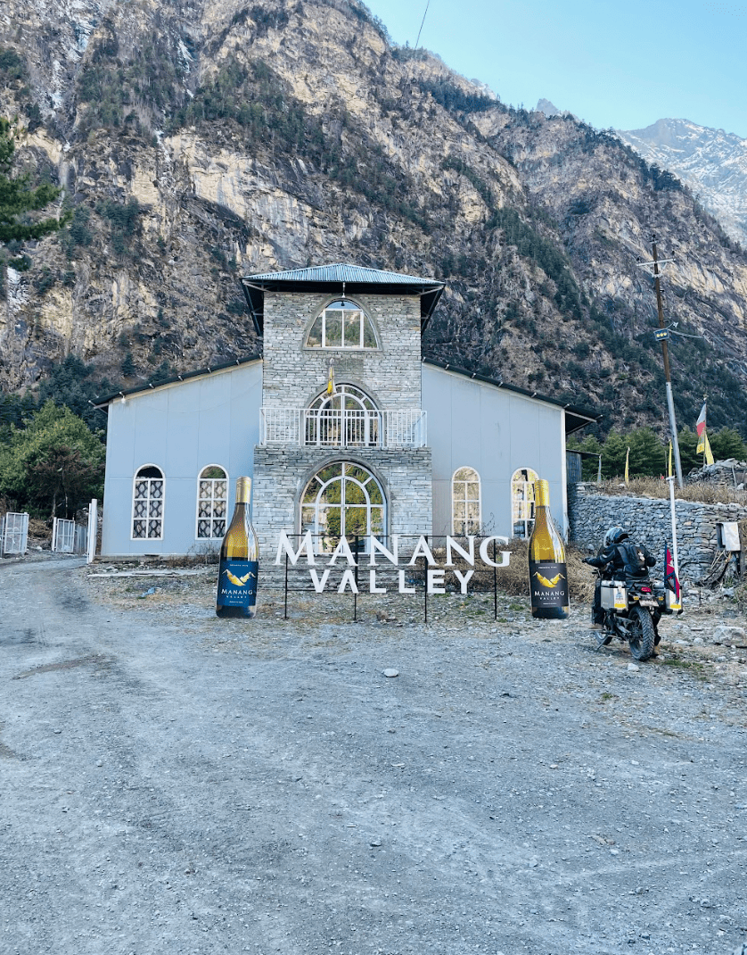
10. Manang Village Itself Will Reorder Your Priorities
Most route guides treat Manang village as a destination — the endpoint of the riding achievement, the place you photograph and then turn around from. What they underrepresent is how much the village itself — its scale, its stillness, the specific quality of the light and air at 3,519 metres surrounded by glaciers and 7,000-metre peaks — changes riders who spend time there.
Manang has guesthouses, small teashops, a high-altitude health post, and a community of people who live and work at an elevation where most visitors are already dizzy. The pace of the village is calibrated to altitude — slow, deliberate, unhurried in a way that feels foreign to riders who have spent two days moving fast through a dramatic landscape to get here.
What nobody mentions: Budget at minimum one full non-riding day in Manang. Not for acclimatisation alone — though that rationale is medically sound and worth following. Budget it because Manang is the kind of place that reveals itself slowly, and riders who arrive, take their photographs, and leave the next morning consistently report in retrospect that they left something behind.
Walk to Gangapurna Lake in the evening when the glacier turns pink. Have tea on a rooftop and watch the Annapurna massif change colour through the hour before dark. Let the altitude slow you down to the pace the village was already running at. The riding got you there. Now let the place actually work on you.
Final Thought Before You Ride
The Manang motorcycle route does not reward riders who arrive with rigid expectations. It rewards riders who arrive prepared — mechanically, physically, and mentally — and then stay flexible enough to let the road reorder what they thought they knew. When it comes to motorcycle tours in Nepal, Manang is undoubtedly one of the best route.
The ten things above are not warnings. They are calibrations. Arrive knowing them, and the Manang ride stops being a challenge to overcome and becomes exactly what it always was — one of the most extraordinary motorcycle expeditions in the Himalayan world.
Pack well. Start early. Stop more than you plan to.
FAQ: Riding to Manang on a Motorcycle
Q1: How many days does it take to ride from Kathmandu to Manang?
Most riders complete the Kathmandu-to-Manang journey in three to four riding days, depending on pace and acclimatisation stops. A recommended itinerary runs Kathmandu to Besisahar on day one, Besisahar to Chame on day two, Chame to Pisang on day three, and Pisang to Manang on day four. Compressing this into fewer days significantly increases altitude sickness risk.
Q2: What is the most difficult section of the Manang motorcycle route?
The lower Marsyangdi gorge between Besisahar and Tal is consistently the most technically demanding section — narrow, loose, and weather-sensitive, with real river crossings and limited margin for error. Above Tal, the road progressively improves in quality, though altitude becomes the primary challenge from Chame onward.
Q3: What size motorcycle is best for riding to Manang?
A 150cc–250cc trail or adventure bike is ideal. The narrow gorge sections and technical river crossing areas are more manageable on a lighter, narrower motorcycle. Heavier adventure tourers perform well on the upper sections but can be physically demanding to manhandle in the lower gorge. Whatever bike you choose, ensure it is fully serviced before departure.
Q4: Is altitude sickness a real risk on the Manang motorcycle route?
Yes — Manang village sits at 3,519 metres and altitude sickness is a genuine risk for riders who ascend too quickly. The standard rule of not gaining more than 300–500 metres of sleeping altitude per day applies. Spending nights at Chame and Pisang before reaching Manang is not only recommended but medically advisable. Symptoms to watch for include persistent headache, nausea, dizziness, and disturbed sleep.
Q5: Can you ride beyond Manang to Thorong La Pass on a motorcycle?
Thorong La Pass at 5,416 metres is technically accessible by motorcycle but is a serious undertaking requiring a highly capable off-road bike, excellent riding skills, proper acclimatisation, and a guided support setup. It is not part of a standard Manang motorcycle tour and should not be attempted without specific preparation and local guide support.