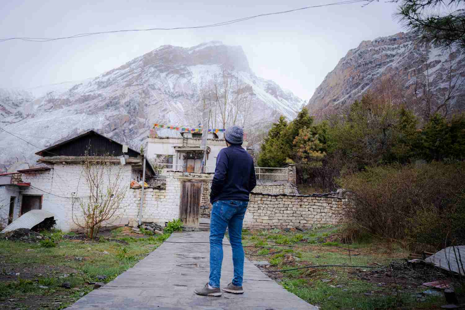
The road from Pokhara to Jomsom runs up the Kali Gandaki valley between two of the world's highest mountains. Dhaulagiri stands on the west side of the valley and Annapurna I on the east, with the three Nilgiri peaks in front of Annapurna. You do not have to hike to see any of them. The road passes villages where the views open up, and a few of those villages are worth planning a stop around.
This guide goes through the road from south to north and says where each mountain shows itself best, when the light works, and how to stop without making the ride harder than it needs to be.
The Mountains at a Glance

Riding north, Dhaulagiri is on your left and Annapurna and Nilgiri are on your right. Heights vary slightly between sources, but these are the commonly quoted figures.
|
Peak |
Height |
Side of the road (riding north) |
|
Dhaulagiri I |
about 8,167 m |
West (left) |
|
Annapurna I |
8,091 m |
East (right) |
|
Nilgiri North |
about 7,061 m |
East (right) |
|
Nilgiri Central |
about 6,940 m |
East (right) |
|
Nilgiri South |
about 6,839 m |
East (right) |
|
Tukuche Peak |
about 6,920 m |
West (left) |
Near Kalopani, Dhaulagiri and Annapurna I stand roughly 35 kilometres apart with the valley floor at about 2,540 metres. The gap between the river and the summits is why this gorge is so often called the deepest in the world. Some definitions of "deepest" are argued over, but the scale is real.
How Light and Cloud Work Here
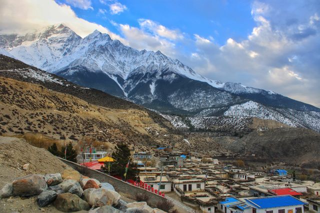
Two things decide how good a view will be: the time of day and the cloud.
Mornings are usually the clearest. Cloud tends to build up in the valley as the day warms, and by afternoon the summits can disappear. Trekkers' accounts regularly describe Dhaulagiri covered in clouds by the time they reach a village that was clear at dawn.
The light also changes which side looks best. In the morning, the sun comes from the east and lights Dhaulagiri's side of the valley. In the late afternoon and at sunset, the sun falls on the faces of Annapurna and Nilgiri. A village with both views, like Kalopani, rewards a night's stay for this reason.
The Kali Gandaki wind is the other factor. It builds from mid-morning, and by early afternoon it can be strong and dusty. A morning start helps with the wind and with the views.
Viewpoints, South to North
Tatopani: the First Glimpse
At about 1,200 metres, Tatopani sits low in the valley, and the big peaks are mostly hidden by the valley walls. Nilgiri can show above the ridge in clear conditions, and some visitors catch it from the hot spring area. Do not expect a full panorama here. Think of it as the first hint of what is ahead.
Ghasa to Lete: Dhaulagiri Appears
Above Ghasa, the valley opens and the landscape changes. Between Ghasa and Lete, Dhaulagiri I and Tukuche Peak start to show on the west side of the road. Early trekkers' accounts describe this stretch as one of the first places where Dhaulagiri dominates the view.
On a motorcycle, this section is a good place to pull over at a wide spot and look back and forward. The road follows the river, so look for places where the shoulder widens and the bends are open.
Kalopani: The Best Overall Panorama
Kalopani, at about 2,530 to 2,560 metres, is the village most often named for views. Annapurna I and the Nilgiri peaks are visible to the east, and Dhaulagiri and Tukuche Peak to the west. Few places on the road put all of these in sight at once.
The village is also where late-afternoon light works best. Photographers describe the northwest face of Annapurna I and Nilgiri South lit at sunset from Kalopani. If you want a view you can watch change for an hour, this is where to stop for the night.
Between Larjung and Kalopani, the river bends and the gorge narrows. This is the stretch usually named as the deepest part of the valley. The peaks rise on both sides, and the effect is of being at the bottom of a very large bowl.
Larjung and Kobang: Dhaulagiri Up Close
The twin villages of Larjung and Kobang, both at about 2,560 metres, are known for close views of Dhaulagiri. Kobang has a viewpoint for the Dhaulagiri Icefall, where the glacier falls in broken blue and white ice. This is the best place on the road to see the mountain's ice and rock rather than just its outline.
Across the valley from Larjung, you also get a sharp view of the west face of the Nilgiri peaks. Cloud often covers Dhaulagiri by midday here, so arrive early if the icefall is the goal.
Tukuche: Dhaulagiri and Nilgiri North
Tukuche was once the main Thakali trading town on the route. It has stone houses, an old distillery, and a long mani wall. From the village, you get good views of Dhaulagiri and Nilgiri North, the highest of the three Nilgiri peaks. A walk through the lanes in the morning gives you the mountains and the town together.
Marpha: Dhaulagiri from the Edge of the Village
Marpha, at about 2,650 metres, is sheltered from the worst of the wind, and the village edge gives a clear view of Dhaulagiri's southwest wall. The walk up to the Nyingma monastery above the village adds height and a view over the roofs and river. Dhumba Lake, reachable on a hike from the village, is another spot locals point to for views of the surrounding peaks. Ask at your lodge for current directions.
Marpha makes a good evening stop for Dhaulagiri in the early light, and the sheltered lanes make it pleasant to walk. See the earlier ride notes on Marpha village for what else to do there.
Jomsom: Nilgiri and Tilicho
Jomsom, at about 2,720 metres, looks across the valley to Nilgiri and, in the distance, Tilicho Peak. The views are best in the early morning, before the wind and cloud arrive. The airstrip runs through the middle of the town and gives an open sightline down the valley. A short walk along the riverbank from the east side of town gives a clean view without buildings in the frame.
Kagbeni and Muktinath: Looking Back and Up
North of Jomsom, the valley widens and the peaks recede. Kagbeni sits at about 2,800 metres, and from its fort ruins you can see Nilgiri to the south and the track north into Upper Mustang. At Muktinath, at 3,710 metres, the ridge above the village gives views of Nilgiri and Dhaulagiri from higher ground. The Muktinath temple guide covers what to see once you get there.
A Note on Poon Hill
Poon Hill, above Ghorepani, is often called the best sunrise viewpoint for Dhaulagiri and Annapurna in the whole region. It is not on the Jomsom road. It needs a hike from the Nayapul side. If you have an extra day in Pokhara and want a different angle, it is worth knowing about, but it sits outside this route.
Best Mountain by Mountain
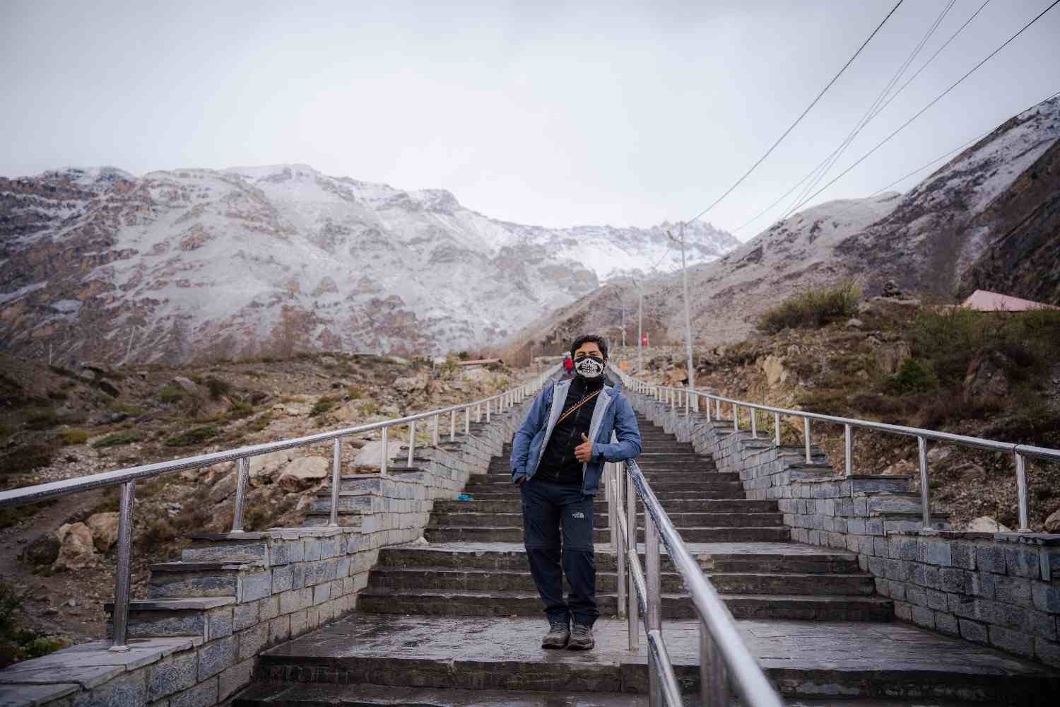
Dhaulagiri: Larjung and Kobang for the icefall, Kalopani and Ghasa to Lete for the full outline, and Marpha for an easy morning view.
Annapurna I: Kalopani, especially at sunset.
Nilgiri: Kalopani, Larjung, Tukuche, Jomsom, and Muktinath. It is the peak you will see most often on this road.
Season Guide
October and November give the clearest skies, with the Monsoon haze washed out of the air. March, April, and May are also good, with more haze late in the season. December to February has crisp air and good visibility on clear days, but the mornings are cold and some lodges close. June to September brings cloud and rain to the lower valley, and the views are less reliable, though Jomsom and the upper valley get less rain than Pokhara.
The when to visit page has more on seasons, and the Mustang destination page covers the wider district.
Stopping Safely on a Motorcycle
The Jomsom road is narrow in places, and jeeps and trucks use it. A few habits make stops safer.
Pull completely off the road before you stop. Do not stop on bridges, blind bends, or narrow stretches. Wide shoulders and village squares are better.
Park the bike on firm ground. The wind can tip a bike on its side and stand on loose gravel.
Get off the bike to take photographs. Looking at the view while riding is how people end up in the river.
Take your gloves off in cold mornings only after you are stopped. Wind chill at speed is stronger than it feels at a standstill.
If you ride a loaded bike, keep your camera or phone in a jacket pocket or tank bag where you can reach it without digging through panniers.
Planning a Ride Around the Views
A sensible plan for views splits the ride so you reach the best villages in the morning and stay near them in the evening. Riding Pokhara to Tatopani on day one, then Tatopani to Marpha or Jomsom on day two, puts you in Kalopani, Larjung, and Tukuche in the morning, when the cloud is lowest. Spending a night at Kalopani or Marpha gives you evening and early morning light without rushing.
Nepal Moto Tours runs several routes along this road. The Jomsom Muktinath Motorbike Tour takes seven days from Kathmandu. The Lower Mustang Motorcycle Tour runs ten days. For riders who want to continue north, the Upper Mustang Motorbike Tour and the Upper Mustang Motorbike Tour from Pokhara both use the same valley road. If you are riding your own plan from Pokhara, the Pokhara rental page lists the available bikes, and the Royal Enfield Himalayan 411 is the usual choice for this road.
To see what the valley looks like from the saddle, browse the photo gallery and the rider stories.
Frequently Asked Questions
Where is the best place to see Dhaulagiri on the Jomsom road?
Kobang and Larjung for the icefall and close views, Kalopani for the full outline, and Marpha for an easy morning look.
Where can I see Annapurna I from the road?
Kalopani gives the clearest view of Annapurna I, especially in late afternoon and at sunset.
What is the best time of day for mountain views?
Early morning is usually clearest. Cloud tends to build later in the day.
Which side of the road are the mountains on?
Riding north from Pokhara, Dhaulagiri is on your left and Annapurna and Nilgiri are on your right.
Is Poon Hill on the Jomsom road?
No. It sits above Ghorepani and needs a hike from the Nayapul side.
Want a ride that is timed for the views? Nepal Moto Tours plans routes around the light and the wind. Get in touch with your dates and we will suggest where to stay along the Kali Gandaki.